Sebec Lake is a clear water lake that is perfect for kayaking, sailing, water skiing, or any other water sport you and your family might enjoy.
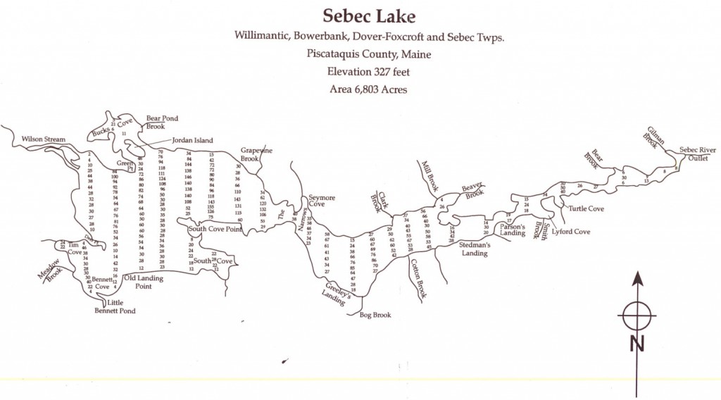
Sebec Lake is about 11 miles long and about 2 miles wide at its widest point, about 6800 acres total. The average water depth is 42 feet, with 155 feet at its maximum. Sebec Lake is well known for its fantastic fishing, including native landlocked salmon. There are also some of Maine's biggest togue (lake trout) along with plenty of small mouth bass and white perch, plus plenty of sunfish for the younger kids catch. We are happy to point you towards some of the best fishing spots on the lake. We have fished them all!
The area was inhabited by Abnaki Indians as shown by the great number of arrowheads and stone implements that can still be found along the shore. Their name for the lake was Sebecco.
In the 1850s folks from the towns of Dover and Foxcroft could take a stagecoach to the Landing. Starting in 1860 there were boats offering rides on the lake. In the middle 1800s and through to the mid-1900s, there were many sawmills and log drives on the lake. In the early 1900s, cottages (known in the area as "camps") were being built on the lake.
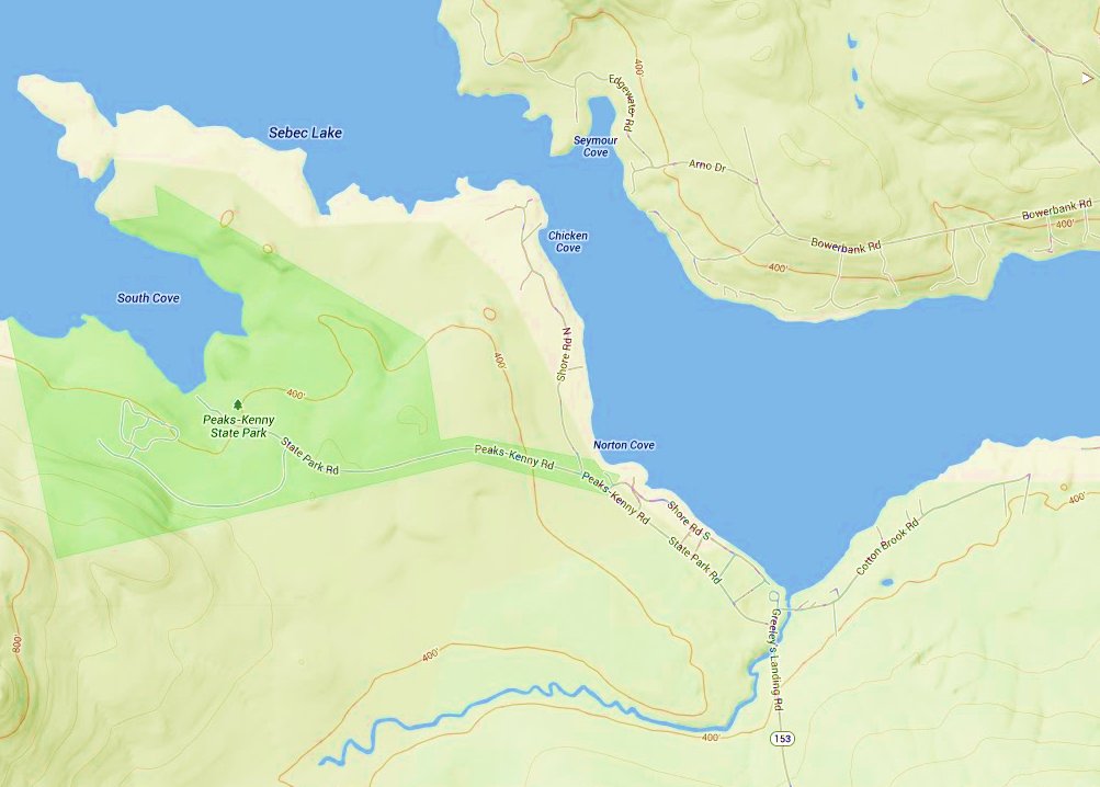
In 1964, Dover-Foxcroft lawyer Francis Peaks, presented an 800 acre tract of land at the lake to the state to become Maine's 18th state park, to be named Peaks-Kenny. It is tucked back in a large cove (South Cove), a short distance from Greeley's Landing.


